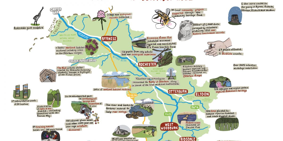
 Summary of Revitalising Redesdale achievements - Illustration by Laura Barnard
 Photo Credit: Wild Intrigue
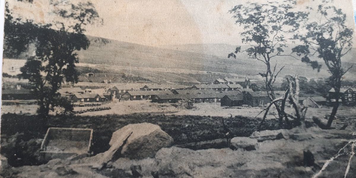
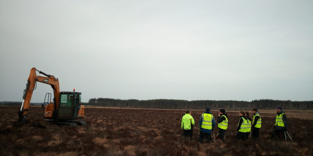
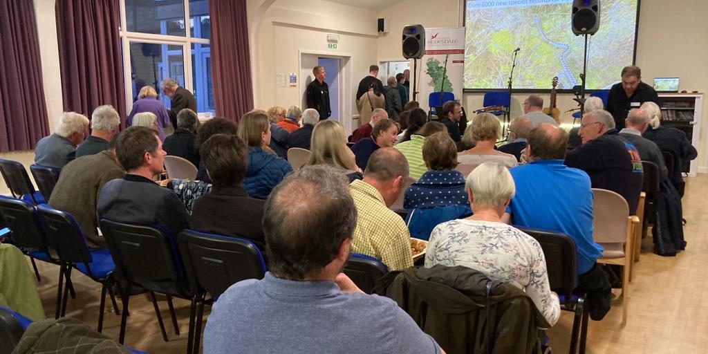
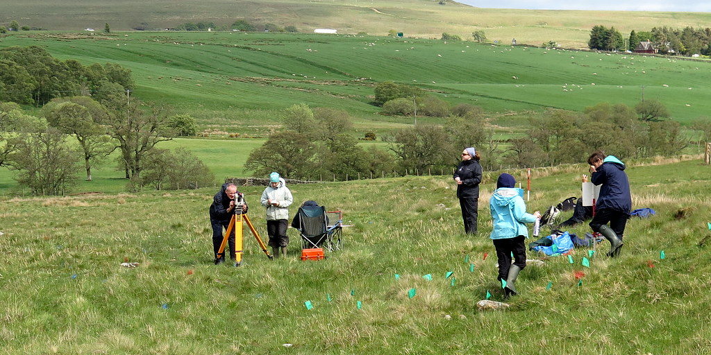
This project involves working with our partners at the Ministry of Defence and Breaking Ground Heritage to investigate the rich archaeology of the Otterburn Training Area. Local volunteers have been taking part in archaeological investigations together with participants from Operation Nightingale, an MoD initiative to assist the recovery of wounded, injured and sick military personnel and veterans.
The project aims to provide volunteers from the local community and veterans from the military community with a high-quality experience of archaeological fieldwork through ‘on-the job’ training in archaeological fieldwork techniques.
Exercise Border Reiver
In August 2019, 25 volunteers excavated possible prehistoric features at Bellshiel Rigg, led by Wessex Archaeology. The participants learnt archaeological skills in geophysical survey, metric survey and osteology over the course of the two weeks, as well as developing their ‘soft skills’ through coaching from Wessex Archaeology staff. All the features were found to probably post-date the late Iron Age/Roman period. You can read the excavation report here.
Exercise Lidar Truth
Excavations took place in September 2020 and August 2021, led by Wessex Archaeology, with volunteers and Operation Nightingale participants, examining two possible prehistoric features that were identified as part of the Lidar Landscapes project. You can read and download the excavation reports below.
Exercise Lidar Truth Excavation Report 2020
Exercise Lidar Truth Excavation Report 2021
Yatesfield Iron Age-Romano British settlement
An excavation of a possible Iron Age/Romano British settlement identified as part of the Lidar Landscapes project took place during June 2021. The investigations established that the site consists of an enclosed settlement and related agricultural systems dating to the Late Iron Age/Early Romano-British period. You can read and download the report below.
Use our interactive DISCOVER map to explore the Rede Valley, facilities and places of interest to visit.
Revitalising Redesdale Partners are delivering a range of projects to “inspire and enable us all to care for Redesdale."
There are many events covering a wide range of topics and activities, find out what's on in Redesdale over the next few months.
We have created a series of 6 self-guided walk leaflets to help you to explore some of the footpaths and bridleways around the area.