 Photo Credit: Wild Intrigue
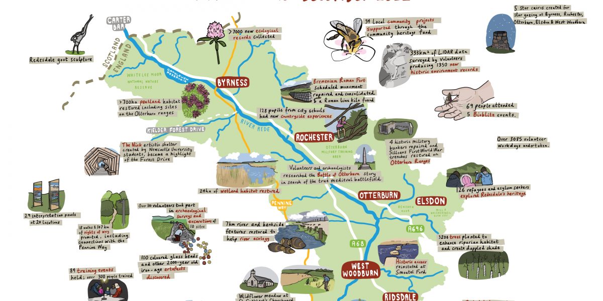 Summary of Revitalising Redesdale achievements - Illustration by Laura Barnard
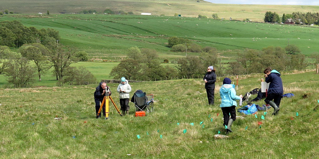
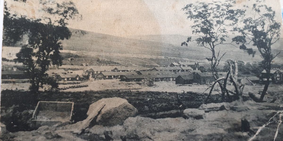
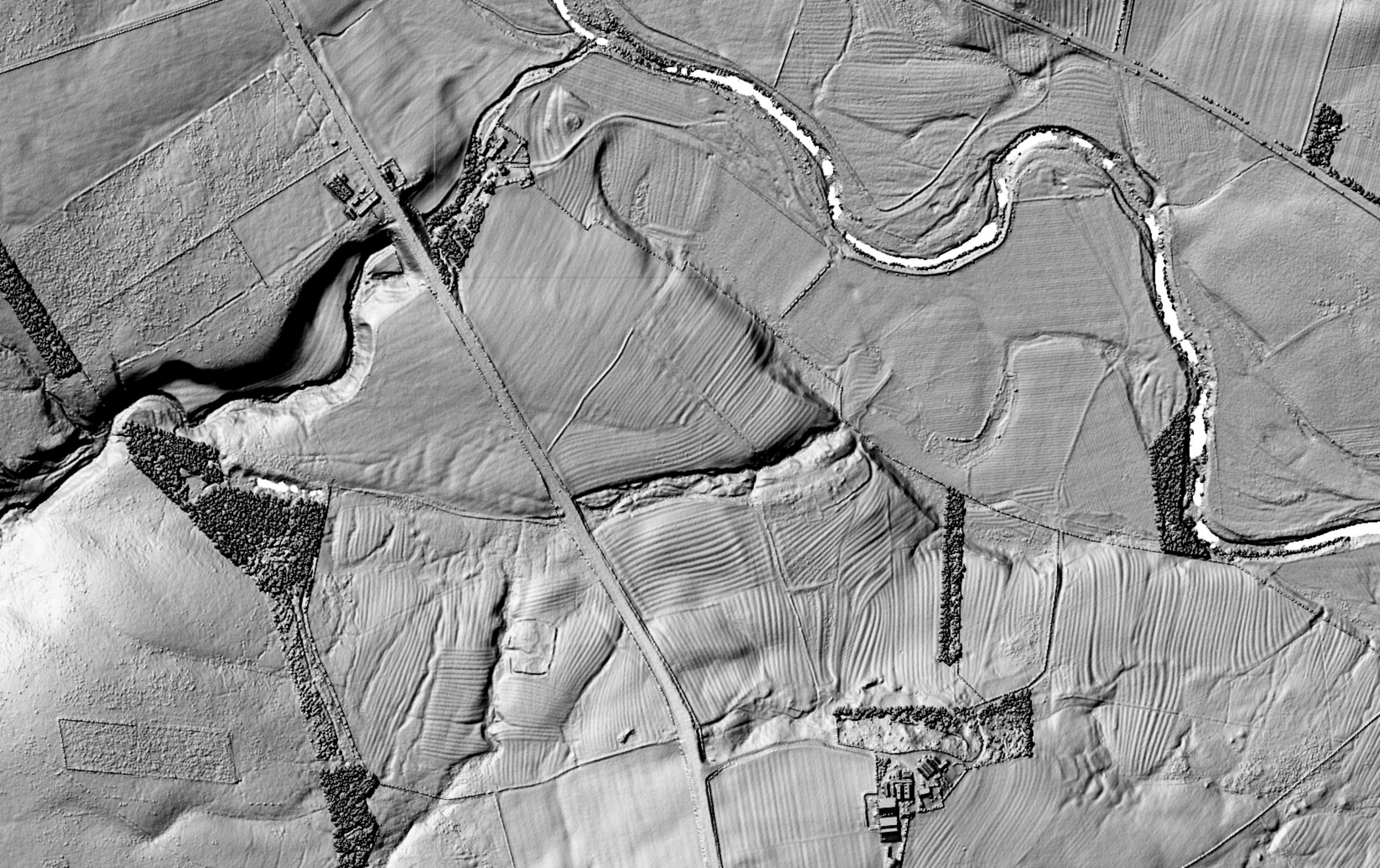
The Redesdale Landscapes Through Time project formed part of the Lost Redesdale community archaeology project, which sought to better understand and tell the landscape story of Redesdale.
Building on the results of Lidar Landscapes survey, volunteers studied six key areas of Redesdale’s complex archaeological landscapes in detail and have written reports of their findings, describing how these landscapes and communities have developed over time. The project was delivered primarily remotely through online resources to enable the effective engagement of volunteers within Covid-19 restrictions, although a face-to-face final workshop was held where volunteers were able to present and discuss their research.
The overall project report and individual reports for each area are available to read and download below.
Use our interactive DISCOVER map to explore the Rede Valley, facilities and places of interest to visit.
Revitalising Redesdale Partners are delivering a range of projects to “inspire and enable us all to care for Redesdale."
There are many events covering a wide range of topics and activities, find out what's on in Redesdale over the next few months.
We have created a series of 6 self-guided walk leaflets to help you to explore some of the footpaths and bridleways around the area.